 |
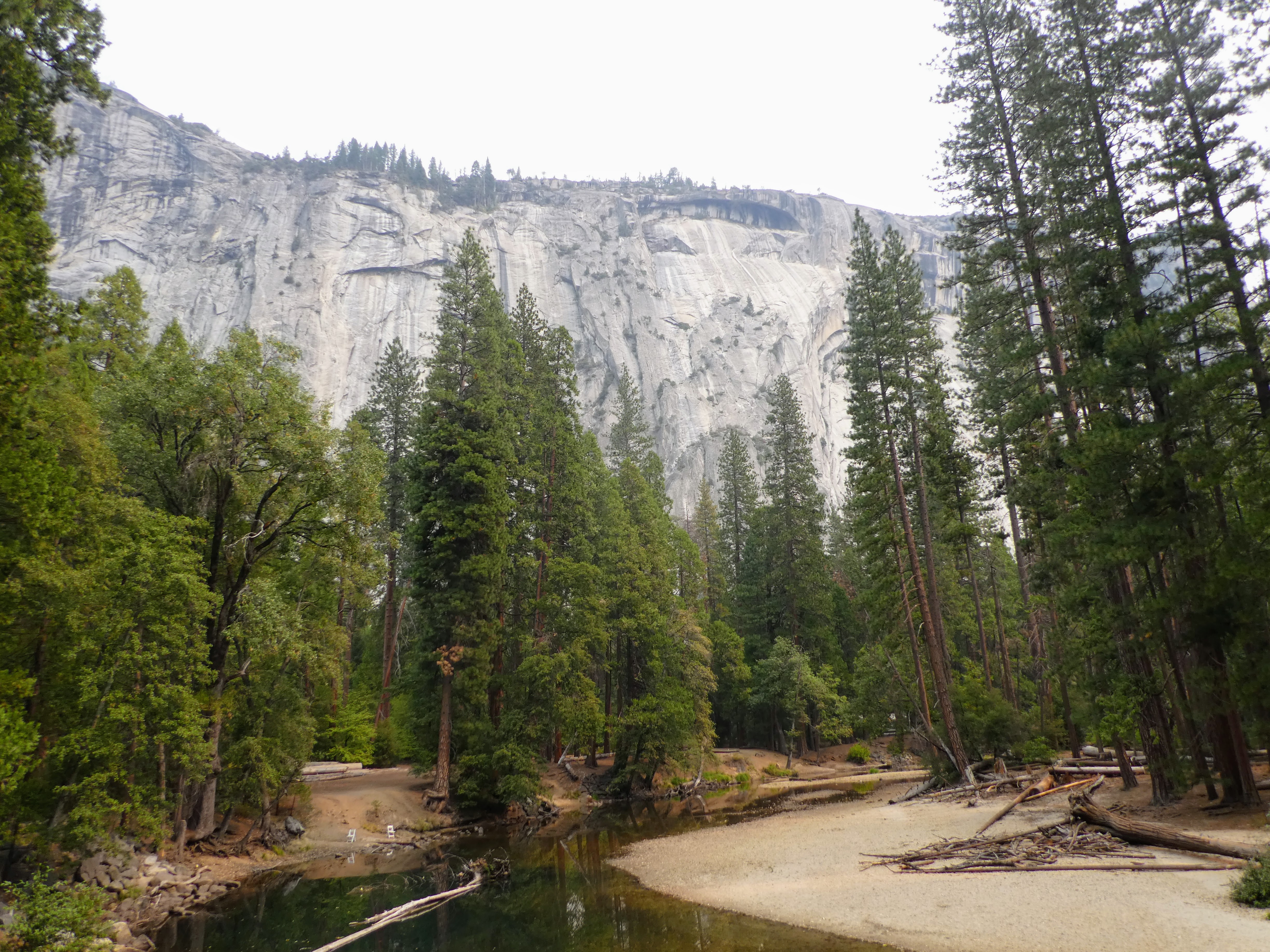
| Quite a climb to Varnal Falls in Yosemite. |
Less people but less water!
Friday we drove around Yosemite Valley. We made the loop on Northside Drive and Southside Drive (one-way roads) a couple of times as Pat was insistent that the GPS could find the Visitor's Center. It could not! The road it wanted us on was only for authorized vehicles. Basically, Yosemite Village was closed to autos so you could only get there by going to a parking area and walking. Once I convinced him to follow the signs, which weren't very clear, we made it.
The "less" on Fri., same as Thurs., was the people. It was deserted which was nice. Pat heard that this past summer wasn't a busy summer. My brother Mark, who was there in late May or early June, may disagree with that!
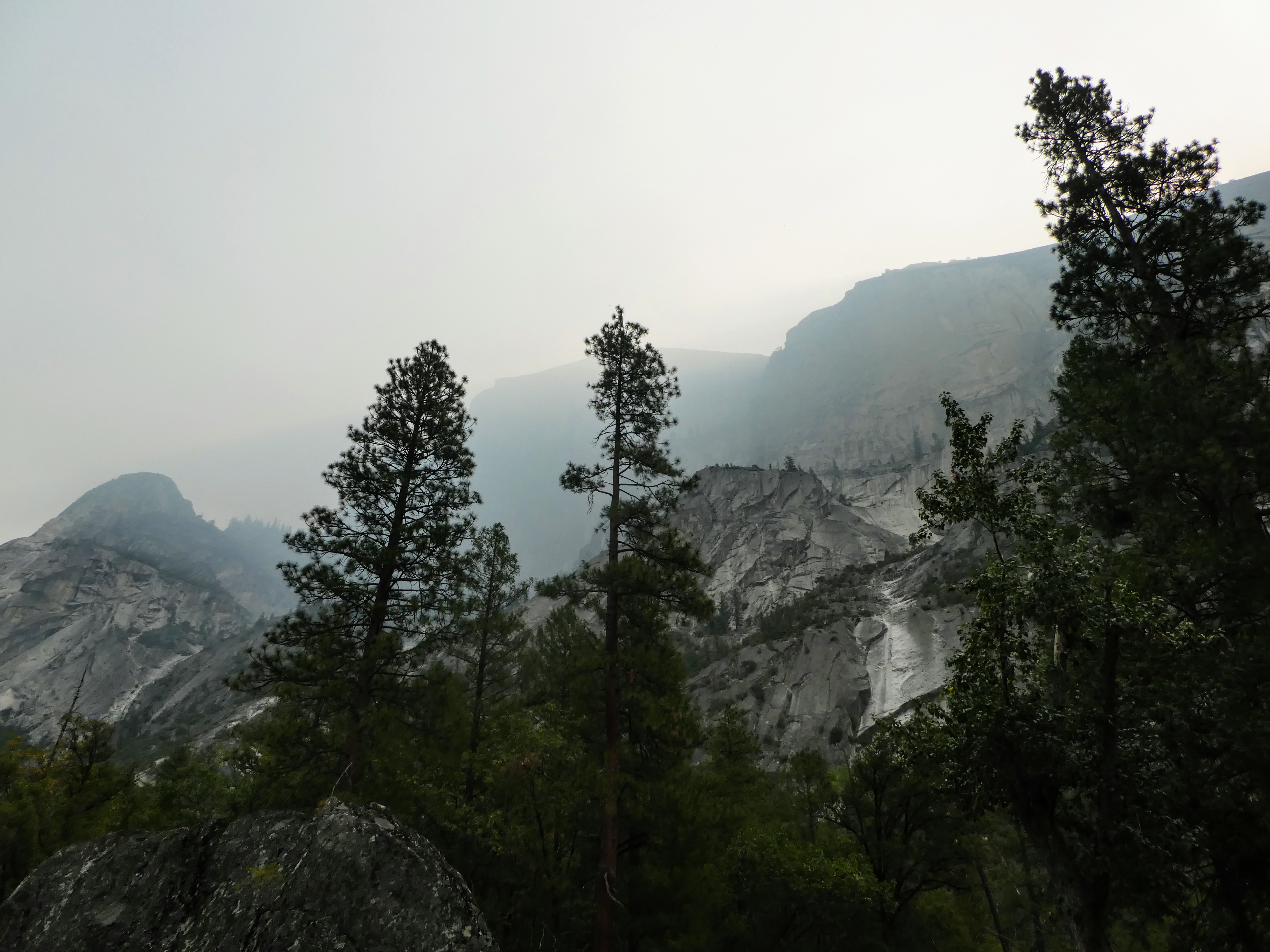
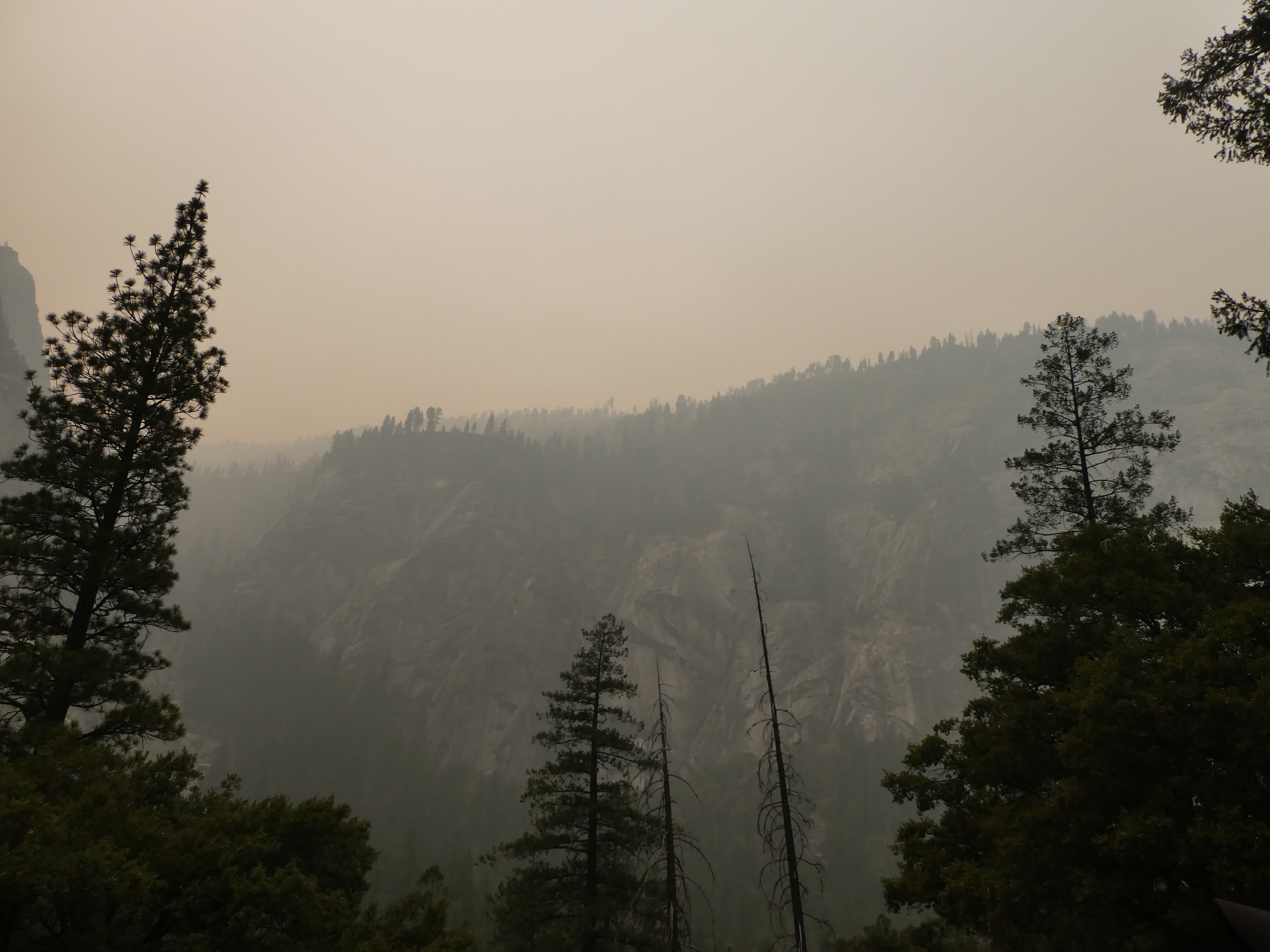
The smoke from Sequoia was bad and got worse throughout the day.
When we went through the Arch Rock Entrance on Thurs. we noticed helicopters with ropes dangling. A rescue? A forest fire? Nope. They were lifting people and supplies in to do utility work up above on the mountain.
Saturday we took the bikes in to ride around the paths in Yosemite Valley. We don't ride a lot anymore and I hadn't ridden since June, before I broke my arm. It was beautiful today, cool but not cold. The bike paths were flat and paved.
We had a lot of fun and stopped for a couple of hikes on the way. We only got through half of the 12+ miles in paths before it got pretty smokey and we called it a day. We left the bikes on the car and will try and head back tomorrow.
 |
| On our way into the park we saw the staging area for the helicopters assisting with the utility work. I'm not sure what's on the end of the rope attached to this helicopter but one day we saw a basket. |
 |
| Sun behind the smoke this morning. |
 |
| Ranger patrolling on horseback. |
 |
| Pretty sure the map got redder as the day progressed. |
 |
| We stopped on a bridge to see what everyone was looking at. Pat just happened to have the binoculars in his backpack from Thurs. which came in handy. |
 |
| 2 climbers here... |
 |
| ...and 3 more over to the right. |
 |
Mirror Lake is a seasonal lake (spring to summer) and the remnant of a glacial lake that once filled the valley. It is close to disappearing due to sediment accumulation. Tenaya Creek flows through here. This is the lower pool.
|
 |
| Upper Mirror Lake. One person made it to safety from the raging waters! |
 |
| Half Dome on the right is behind Mirror Lake. |
 |
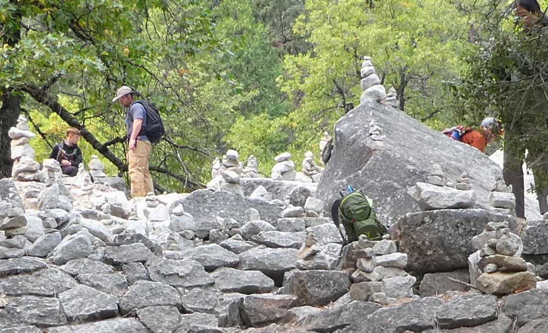
| As were leaving Upper Mirror Lake, off to the right, there was a set of stone stairs with a cairn garden at the top. Young and old were having fun. |
 |
Pat even had cushions for our snack time at Mirror Lake.
|
 |
| Lunch time |
Just as we left our lunch spot Pat saw a bear cub run across the road. We kept our distance, as did everyone else, making sure Mama wasn't following behind before continuing on the road.
 |
| Mist Trail leads to Vernal Falls and continues on to Nevada Falls and other points of interest. It is .8 miles to the footbridge and 1 1/2 miles to the Falls. I thought we saw Vernal Falls from the Panorama Trail Thurs. but now I'm not sure. |
 |
| The reflection makes the clear water look very green. |
 |
| Glad we didn't wait until Mon. to come here. |
 |
| Over time the cliffs above shed boulders, pebbles, and sand forming rock piles at the bottom called "talus." |
 |
View from the foot bridge. We had planned to stop here but decided to go a little further. It seemed pretty steep up to the bridge but it was about to get worse.
|
 |
| As we headed up towards the falls there was sand on the path making it a little slick in spots.. |
 |
| Here we had a good view of the falls. |
 |
| The only flower I saw up there. |
 |
| We could see people on top. |
 |
| No railing now. We turned around. Coming up was an extremely steep spot. |
 |
| Heading down. |
Where are the Piepers now? Indian Flat RV Park, El Portal, CA


We made it up the trail to top of Vernal Falls -- and quite a bit further do to some 'advice' from a ranger who said it was easier to go past top and take alternative route down to avoid hiking down the rocks. He didn't tell us this would take and extra 3 or 4 hours! But still it was a nice hike. We had smoke also as they were doing controlled burns all week in Yellowstone Valley when we were there.
ReplyDeleteAccording to the signs and the people coming down we were almost? there but we had enough. At least we finally saw water. We enjoyed biking yesterday and today.
Delete