 |
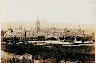
In the first half of the 1900's what did people think of when they heard, "Napa?" Not wine, but the California State Hospital or, as it was known until 1924, the Napa Assylum for the Insane. On 138 acres (layer it grew to 2,000 acres) with 7 towers it was called the "castle." |
 |
| The California State Hospital today. The Castle structure was demolished after WWII. |
Opened in 1875 to ease crowding at the Stockton Hospital it strived to provide a healthy environment for it's patients. Believing in work therapy, it was designed to be self-sufficient with patients doing a lot of the work. It went through a lot of changes through the years, including stetilization, electrotherapy, and integrating patients into the community. It started with treating alcoholics, those suffering from diseases such as depression, and the homeless. Today 80% of it's patients are criminals, many claiming insanity as a defense.
In 1979 the hospital decided to sell off unused land. That is when the state leased a portion of that land to Skyline Wilderness Park. Remember the chicken coups? The assylum patients raised chickens, cows, grew gardens, planted orchards, and built lakes to provide water.
Below are some interesting pieces of history we found while hiking Skyline Wilderness Park. Videos made by Kate Senger in 2021 were very interesting and helpful: History Behind the Mysteries of Skyline Wilderness Park.
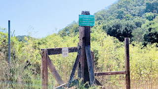
There is a path connecting the park to the hiking trails. On either side of that path and bordering some of the trails are signs indicating no trespassing on California state property.
In the early years a small number of patients were allowed to not only wander the grounds but to build small houses, or live in caves.
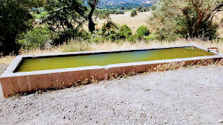 |
| A yummy looking water trough for horses. |
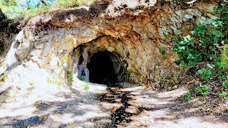 |
| A small cave that was excavated in the 1800's in search of a spring, indicated by the wet spot outside of the cave. |
From 1875 - 1923 4,300+ indigent patients were buried on the grounds, somewhere. Add to that the bodies that were claimed and they had the highest death rate of any similar facility. From the 1920's - 1964, over 5,000 bodies were cremated and in 1968 the ashed were buried in a mass grave. Today the few that die there are transferred to their county of residence. 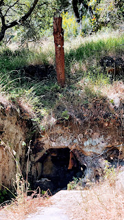 |
This could be the original crematorium or it could be a cave where a patient lived. There is a chimney on top and a piece of metal hanging inside on the top. Not a lot of records, so lots of speculation.
|
 |
| Not sure what this is... |
 |
| but there is a passage between the rocks. There are hand chisel marks. |
 |
Near the top of Lake Marie road is Lake Marie, one of 3 or 4 lakes built on the hospital property. Built around 1880 it provided water to the hospital for almost a century.
|
 |
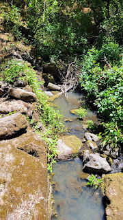
| We walked up on Lake Marie Road but took a path down that required several water crossings. |
 |
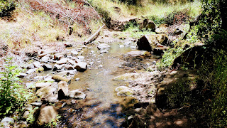
| Pat noticed how cloudy the water was. |
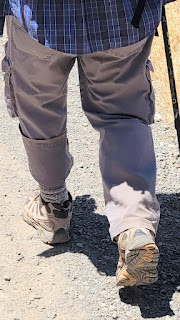 |
| A new fashion trend? |
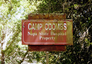 |
| Not much on Camp Coons but it appears to be overgrown and defunct. It's fenced off. |
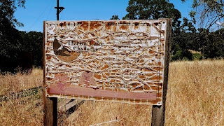 |
| In one corner of Camp Coombs was Heron Lake Challenge, a team building rope course by the Napa schools. The sign doesn't look too promising and it looks a bit overgrown. However, it looks like it was used at least until 2019, which was about Covid time. |
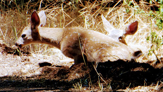 |
| A couple of fawns, maybe twins? |
 |
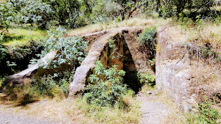
| Shortly after starting down the River to Ridge Trail we came across what is thought to be a rock separater. There was a quarry above and the rocks were separated into 3 sizes and came out the chutes. Possibly used to build the roads or the blocks for the original hospital building. |
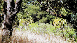 |
Palm trees not native to the area indicating there may have been a house here, maybe prison administrators.
|
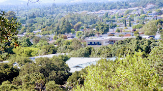 |
| Overlooking the current prison layout. |
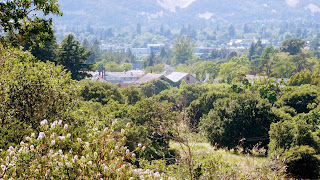 |
| Looking down towards the Napa River. This was our turn around spot. |
Our final search was for The Hermitage. Here a few patients had built homes and local Napa residents would come for picnics. We took an unmarked road and found a more modern Kiwanis park. According to a later video The Hermitage might have been located in the Camp Coombs area.
 |
| This wall and the fountain on the right were newer and probably built by the Kiwanis. |
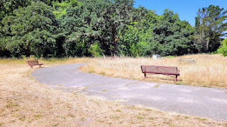 |
| The Kiwanis park appeared abandoned which seems a shame. A shelter had a date of 1986. |
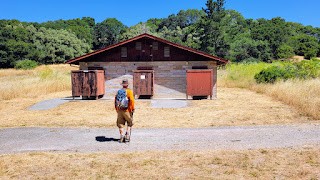 |
| Modern restrooms were locked |
 |
| Old buildings abandoned and locked. No information found on this park anywhere. |
 |
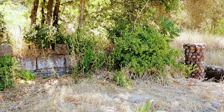
A group had a flower garden here at one point.
|
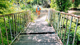 |
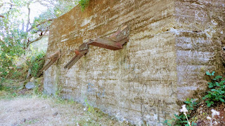
| At least Pat warned me about the missing board! Across the bridge was a picnic area, but also old stone footings and walls. |
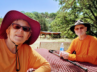 |
| Lunch |
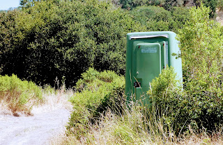 |
| An unused port-a-potty from years ago. |
We came away with more questions than answers but we had fun trying to figure out what might have been. Oh, and there are quite a few paranormal happenings.👻
Where are the Piepers now? Jackpot, NV


